Indoor Positioning Systems: Technologies, Accuracy, and Real Costs
GPS stops working the moment you walk inside a building. Indoor positioning systems fill that gap. But they range from $0 to $500,000+ depending on which technology you pick.
The indoor positioning market hit $18.7 billion in 2026 and is growing at 38% annually. That growth is driven by a simple problem: most business assets spend most of their time indoors, and GPS can't see them there.
This guide compares every major IPS technology by accuracy, cost, infrastructure requirements, and practical fit. No vendor spin. Just data.
How Indoor Positioning Works
All indoor positioning systems solve the same problem: determining where something is when satellites can't help. They differ in how they measure position.
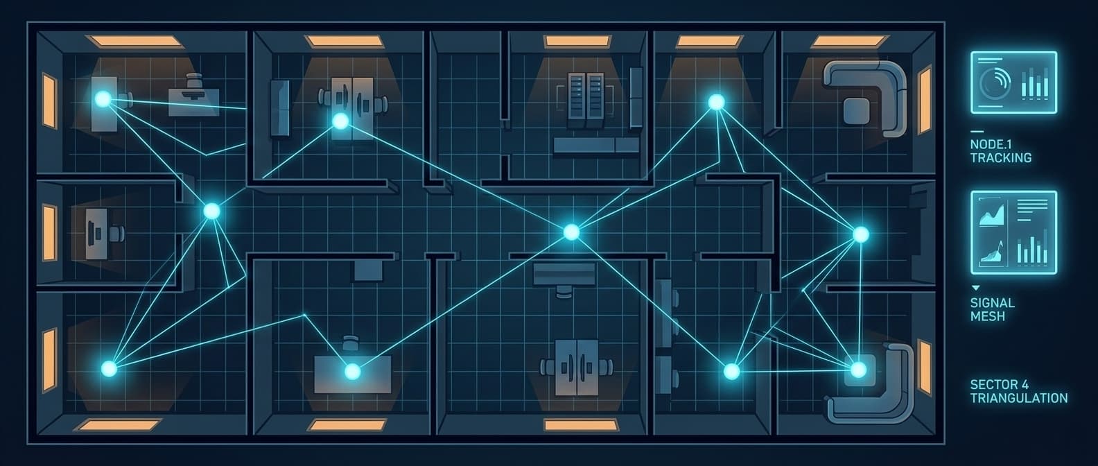
Triangulation uses signal strength or time-of-flight from multiple known reference points to calculate position. WiFi, BLE, and UWB all use variations of this.
Fingerprinting maps signal patterns at known locations, then matches new readings to the closest pattern. WiFi fingerprinting is the most common example.
Proximity determines which zone an object is in based on the nearest detector. RFID readers and BLE beacons both work this way.
Dead reckoning uses accelerometers and gyroscopes to track movement from a known starting point. Smartphones use this to fill gaps between other position fixes.
Most modern IPS deployments combine two or more of these methods. A phone might use WiFi fingerprinting for coarse position, BLE for room-level accuracy, and its IMU for smooth transitions between updates.
The Seven Major IPS Technologies
1. WiFi Positioning
WiFi positioning uses existing access points to estimate location. It's the lowest-barrier entry point because most buildings already have WiFi.
How it works: The system measures signal strength (RSSI) from multiple access points and either triangulates or matches against a pre-recorded fingerprint map. Newer WiFi RTT (Round-Trip Time) measures signal travel time for better accuracy.
Accuracy: 5-15 meters with RSSI fingerprinting. 1-2 meters with WiFi RTT (requires compatible hardware).
Infrastructure cost: Near zero if you have existing enterprise WiFi. Fingerprint mapping takes 2-4 weeks for a large facility. WiFi RTT requires 802.11mc-compatible access points ($200-500 each).
Best for: Campus-level wayfinding, zone-level asset tracking, retail analytics.
Limitations: Accuracy degrades when furniture moves, walls change, or new access points are added. Fingerprint maps need periodic recalibration. Signal interference from microwaves, Bluetooth devices, and human bodies causes position jumps.
2. Bluetooth Low Energy (BLE)
BLE is the most deployed indoor positioning technology globally. Low hardware costs and low power consumption make it practical at scale.
How it works: BLE beacons broadcast signals at regular intervals. Receivers measure signal strength to estimate distance. With multiple beacons, the system triangulates position. Angle-of-Arrival (AoA) in Bluetooth 5.1+ improves accuracy significantly.
Accuracy: 1-3 meters with standard RSSI. Sub-meter with AoA systems.
Infrastructure cost: BLE beacons cost $5-15 each. Expect 1 beacon per 50-100m² for room-level accuracy, or 1 per 5m² for precise positioning. A 10,000m² warehouse needs 100-200 beacons ($500-3,000) plus gateways ($100-300 each).
Best for: Asset tracking, indoor navigation, proximity marketing, occupancy monitoring.
Limitations: RSSI is noisy. Human bodies absorb 2.4GHz signals, so accuracy varies with foot traffic. Battery-powered beacons need replacement every 1-5 years depending on broadcast interval.
3. Ultra-Wideband (UWB)
UWB is the precision tool. When centimeter-level accuracy matters, nothing else comes close in a radio-based system.
How it works: UWB transmits very short pulses across a wide frequency band. Time-of-flight measurements between the tag and multiple anchors give precise distance calculations. Unlike BLE and WiFi, UWB is largely immune to multipath interference from walls and metal surfaces.
Accuracy: 10-30 centimeters. Some systems achieve sub-10cm in controlled environments.
Infrastructure cost: UWB anchors cost $200-500 each. You need 4-8 anchors per 100-200m² zone. Tags cost $30-100 each. A 10,000m² facility requires 200-400 anchors plus installation, cabling, and calibration. Total deployment: $50,000-$200,000+ for a mid-size facility.
Best for: Manufacturing assembly lines, surgical instrument tracking, autonomous vehicle navigation, high-value asset tracking where centimeter precision drives ROI.
Limitations: High infrastructure cost. Power consumption is higher than BLE, so battery life is shorter on tags. Limited device support (only premium smartphones have UWB chips). Anchors need wired power and often Ethernet backhaul.
4. RFID (Radio Frequency Identification)
RFID has been in industrial use for decades. Passive tags with no battery make it attractive for tracking large numbers of low-value items.
How it works: RFID readers emit radio signals that power passive tags, which reflect back their unique ID. Active RFID tags have their own power source and longer range. Position is determined by proximity to specific readers.
Accuracy: Passive RFID: 1-5 meters (depends on reader density). Active RFID: 3-10 meters.
Infrastructure cost: Passive tags cost $0.05-0.50 each at scale. Readers cost $1,000-5,000 each with a read range of 1-10 meters. A warehouse with 20 chokepoints needs $20,000-100,000 in reader infrastructure.
Best for: Inventory counting, supply chain checkpoints, access control, library management.
Limitations: Passive RFID doesn't provide continuous tracking. It tells you the last reader an item passed, not where it is now. Metal and liquids interfere with signals. Read rates drop in dense tag environments.
5. Magnetic Field Positioning
Every building has a unique magnetic fingerprint created by its steel structure, wiring, and reinforced concrete. Magnetic positioning exploits this.
How it works: Smartphone magnetometers read the local magnetic field and match it against a pre-mapped fingerprint database. No transmitters or beacons required.
Accuracy: 1-3 meters with good mapping.
Infrastructure cost: Zero hardware. The main cost is the initial mapping survey (walk every corridor with a calibration device) and the software platform.
Best for: Retail stores, airports, shopping malls where beacon maintenance is impractical.
Limitations: Magnetic fields shift when buildings are renovated, heavy machinery moves, or even when large vehicles park nearby. Requires remapping after structural changes. Accuracy varies between phone models due to magnetometer quality.
6. Visual Light Communication (VLC)
VLC uses modulated LED lighting to transmit position data. It's niche but effective in specific environments.
How it works: Overhead LED lights flicker at frequencies invisible to the human eye but readable by smartphone cameras. Each light broadcasts its known position. The phone determines its own location based on which lights it can see.
Accuracy: Sub-meter. Some systems achieve 10-30cm.
Infrastructure cost: Requires VLC-enabled LED fixtures ($50-200 per fixture vs $20-50 for standard LEDs). Retrofit costs are significant.
Best for: Retail stores with recent LED upgrades, museums, airports with high ceilings.
Limitations: Requires line-of-sight between the light and the receiver (phone camera). Doesn't work in your pocket. Limited to areas with compatible lighting infrastructure.
7. Crowd-Sourced BLE (Find My Network)
Apple's Find My network turns every iPhone, iPad, and Mac into a BLE detection point. This creates a passive indoor positioning system with no infrastructure deployment.
How it works: Find My-compatible tags (AirTags, third-party devices) broadcast BLE signals. Any nearby Apple device picks up the signal, encrypts the location, and relays it to iCloud. The tag owner can then see the location. The AirTag 2's U2 chip adds UWB Precision Finding within approximately 30 meters for directional guidance.
Accuracy: Room-level (5-10 meters) via BLE crowd-sourcing. Sub-meter with UWB Precision Finding when an iPhone 15+ is within 30 meters.
Infrastructure cost: $0 for infrastructure. $29 per AirTag (or $99 for a 4-pack). Compatible third-party tags available from $15-25.
Best for: Businesses that need to track assets across multiple buildings, job sites, vehicles, and warehouses without installing or maintaining any infrastructure.
Limitations: Accuracy depends on the density of nearby Apple devices. Rural or low-traffic areas get fewer updates. No real-time continuous tracking, rather periodic location reports. BLE crowd-sourced accuracy is zone-level, not precision.
Technology Comparison Table
| Technology | Accuracy | Infrastructure Cost | Tags/Devices | Battery Life | Real-Time |
|---|---|---|---|---|---|
| WiFi (RSSI) | 5-15m | Low (uses existing AP) | Smartphones | N/A (phone) | Yes |
| WiFi RTT | 1-2m | Medium ($200-500/AP) | 802.11mc devices | N/A (phone) | Yes |
| BLE Beacons | 1-3m | Low-Medium ($5-15/beacon) | $5-30/tag | 1-5 years | Near real-time |
| BLE AoA | Sub-meter | Medium ($200-400/locator) | $5-30/tag | 1-5 years | Yes |
| UWB | 10-30cm | High ($200-500/anchor) | $30-100/tag | 3-12 months | Yes |
| Passive RFID | 1-5m | High ($1-5K/reader) | $0.05-0.50/tag | No battery | At checkpoints |
| Active RFID | 3-10m | Medium-High | $15-50/tag | 3-7 years | Near real-time |
| Magnetic | 1-3m | Zero hardware | Smartphones | N/A (phone) | Yes |
| VLC | 10-30cm | High (LED retrofit) | Smartphones | N/A (phone) | Yes |
| Find My (BLE) | 5-10m | Zero | $15-29/tag | 1-2 years | Periodic |
| Find My (UWB) | Sub-meter | Zero | $29/AirTag 2 | 1-2 years | When in range |
Choosing the Right IPS Technology
The right technology depends on three questions.
What accuracy do you actually need?
Most businesses overestimate their accuracy requirements. A hospital tracking infusion pumps needs room-level accuracy (which floor, which wing). That's 3-5 meters, achievable with BLE or WiFi.
A semiconductor fab tracking wafers on an assembly line needs sub-meter accuracy. That's UWB territory.
A construction company tracking generators across 15 job sites needs building-level accuracy. That's crowd-sourced BLE through the Find My network, with zero infrastructure at any site.
What's your infrastructure budget?
This is where most IPS evaluations go sideways. The technology comparison looks straightforward until you price out a real deployment.
Enterprise UWB for a 50,000 sq ft warehouse:
- 200+ anchors at $300 each: $60,000
- Cabling and mounting: $20,000-40,000
- Tags (500 assets at $50 each): $25,000
- Software licensing: $15,000-50,000/year
- Installation and calibration: $10,000-30,000
- Total year one: $130,000-$205,000
BLE beacon grid for the same warehouse:
- 100 beacons at $10 each: $1,000
- 4 gateways at $200 each: $800
- Tags (500 assets at $15 each): $7,500
- Software: $5,000-15,000/year
- Total year one: $14,300-$24,300
Find My network for the same warehouse:
- 500 AirTags at $25 each: $12,500
- Software (Airpinpoint): $600-2,400/year
- Infrastructure installation: $0
- Total year one: $13,100-$14,900
The accuracy difference between BLE/Find My (1-5m) and UWB (10-30cm) is real. But for 90% of asset tracking use cases, knowing which room or zone an asset is in matters more than knowing its position to the centimeter.
Do you need to track across multiple locations?
This is the question that eliminates most traditional IPS technologies. Installing WiFi fingerprinting, BLE beacons, or UWB anchors at one facility is manageable. Installing and maintaining them at 10 warehouses, 30 job sites, or 200 retail stores is an infrastructure project that never ends.
Crowd-sourced networks like Find My scale horizontally with zero marginal infrastructure cost. Add a $29 tag to an asset, and it's trackable at every location, in transit, and everywhere in between.
IPS by Industry
Healthcare: Hospitals represent the largest RTLS market. CenTrak, Zebra, and Securitas Healthcare dominate with BLE + infrared hybrid systems. Typical cost: $800-1,500 per bed for full deployment. The ROI comes from reducing equipment search time (nurses spend 30-60 minutes per shift looking for equipment) and preventing theft.
Warehouses and logistics: BLE or UWB depending on accuracy needs. Most warehouse IPS tracks forklifts (real-time for safety) and pallets (periodic for inventory). WiFi positioning works as a starting point if you have dense Cisco or Aruba coverage.
Retail: Magnetic positioning and BLE beacons for customer wayfinding and foot traffic analytics. Most retailers care about zone-level dwell time, not precise coordinates.
Construction: Traditional IPS doesn't work here. Sites change daily, there's no permanent infrastructure, and assets move between locations. This is where crowd-sourced tracking through the Find My network makes the most sense. Tag it, track it, no installation.
Manufacturing: UWB for production line tracking where position drives process control. BLE for general asset management on the factory floor.
Offices: WiFi positioning for space utilization analytics. BLE for meeting room occupancy and hot desk management.
The Shift Toward Zero-Infrastructure IPS
Traditional IPS required a binary choice: spend six figures on infrastructure or accept poor accuracy. That's changing.
Apple's Find My network has created a crowd-sourced positioning layer that covers most urban and suburban areas at no infrastructure cost. With over 2 billion active Apple devices globally acting as detection nodes, the network density in commercial areas rivals purpose-built BLE beacon grids.
The AirTag 2's U2 ultra-wideband chip adds precision finding within 30 meters, bringing UWB-class accuracy to individual searches without UWB anchor infrastructure.
For businesses, this means indoor positioning has moved from a capital expenditure (buy and install infrastructure) to an operational expenditure (buy tags, subscribe to software). The total cost of tracking 500 assets dropped from $100,000+ to under $15,000.
How Airpinpoint Uses Indoor Positioning
Airpinpoint connects to the Find My network to provide business-grade indoor positioning without infrastructure deployment.
Every AirTag and Find My-compatible device reports its position through the crowd-sourced BLE network. Airpinpoint aggregates these positions into a fleet dashboard with location history, geofence alerts, and multi-site inventory views.
For businesses that need indoor asset tracking without the six-figure infrastructure investment, this is the practical middle ground: better than GPS (which doesn't work indoors), cheaper than enterprise RTLS, and deployable in minutes instead of months.


